Sunday, July 31, 2011

Sidetrip to Grand Junction

Today was a rest day, but also an opportunity to visit with our sister-in-law Julie's mother, Ann, who lives in Grand Junction. We had a wonderful lunch at the Rockslide Brewery
and checked out the public art in the downtown area.  This buffalo is made from car bumpers.

We drove to Colorado National Monument.  View from Cold Shivers Point:

View from Artists Point:
Thank you, Ann, for showing us such a great time.

Saturday, July 30, 2011

To Montrose

Brrr! It's cold camping at this elevation.
Main Street, Telluride:
Morning coffee:
We drove the first five miles leaving Telluride because of mud across the roadway.  Dick took the first leg today because of a steep climb up to Dallas Divide. 
I took over in Ridgway, almost the entire ride was downhill.  To get some exercise out of it, I decided to pedal hard and managed to average 13 mph for 2 hours.  I think that's some sort of record for me.
Cow Creek:
Miles = 1309

Friday, July 29, 2011

Backtracking: Dolores to Matterhorn CG

We left early in the morning and drove back to Dolores where I started my ride along the Dolores River.  It was a gentle uphill grade for 1000 feet elevation gain.
Dick's part of the ride was much steeper, he had to climb 2200 feet.
 Lizard Head is 10,222 feet
He's on the downhill now.  In the background glacier-carved valleys and Yellow Mountain, although it looks like a Hollywood painted backdrop.
Back at camp, we quickly changed our clothes and headed for Mountain Village, a resort just over a mountain from Telluride. 
Telluride and Mountain Village are connected by a gondola system.  Parking in Telluride is difficult, so the local recommendation is to park in Mountain Village and ride the (free) gondola to the other side.
Miles = 1251

Thursday, July 28, 2011

To Matterhorn campground west of Telluride

Since our campsite in Dolores was in the front yard and on the main street through town, we decided to relocate today farther down the road. We chose Matterhorn Campground about 53 miles away and just over Lizard Head Pass. This was the view from our campsite.
I took the day off from riding, partly due to a pulled muscle in my lower back, but Dick wanted to do some riding. He decided to ride to Telluride for groceries, he said he'd be gone about 2 hours, but he underestimated the difficulty of the ride. It was 22 miles roundtrip, but with some steep climbs in both directions. At the 3 hour point, I drove to find him. He was on his way back, but very slowly. I relieved him of his heavy grocery-filled saddlebag. He rolled into camp after a total of 4 hours.
Miles = 1198

Wednesday, July 27, 2011

To Dolores Colorado

Time to contribute more miles today. I got going early, it was actually chilly, so for me, the riding was great. Hello, Colorado! First town was Dove Creek, where Dick took this picture.
Before Dick could start his part of the day's ride, he had to fix a flat, just our second on this tour.

Miles = 1176

Tuesday, July 26, 2011

Rest / Ride / Rest

Sunday was a Rest Day.  Monday was a riding day. In the morning, I rode from Blanding to Monticello, 22 miles and 1200 feet elevation gain in 4 hours.
In the afternoon, Dick rode from Comb Wash to Blanding, 18 miles with a 1200 foot elevation gain.  I was so glad to not do this section.  Here he's starting out with a long 5% grade.
At the top, coming through a narrow crevice in the rocks with signs warning "Slide area, no stopping or standing."
He had two more sections of 8% grades.  He finished in less than two hours.  See what I mean about the difference in our riding strengths.
In the early evening, the storm clouds rolled in and it began to rain. Today was a rest day, although we relocated our camp to Monticello so it will be easier for me to ride out of here tomorrow morning. The thunderstorms and lightning continue to roll in. I sure hope it's all over by tomorrow.
Miles = 1112

Saturday, July 23, 2011

To Blanding

The sun rose on Hite Recreation Area as I rode away this morning. You can barely see the bridge over the Colorado River as I climbed the first steep hill.
Riding a bike, you cross what looks like an ordinary bridge, and discover dramatic clefts which make you stop.  In a car I think you miss a lot of the little (big) things.
A faraway rock on a mountaintop called Jacob's Chair:

This one is called Cheese Box Butte.  To me it looked more like a yurt, but perhaps the early butte-naming pioneers didn't know what a yurt is.  And I didn't know, until now, what a cheese box looked like.
We have arrived in the part of Utah where cows might be seen hula-hooping.  I find it interesting that most of the cow warning signs now have double red flags.  I'm not sure any self-respecting cow should be eking out an existence in this environment.
We drove the 9-mile one-way loop through Natural Bridges, a good place to have our lunch break.
Sipapu Bridge, spans nearly 270 feet and stands 220 feet high.  The name is borrowed from a Hopi Indian legend and alludes to "the gateway through which the souls of men come from the underworld and finally return to it."
Mule Canyon Ruin is the site of a small Anasazi village:
Tonight we're in Blanding and planning to take a rest day tomorrow. I love rest days.

Miles = 1073

Friday, July 22, 2011

To Hite Recreation Area

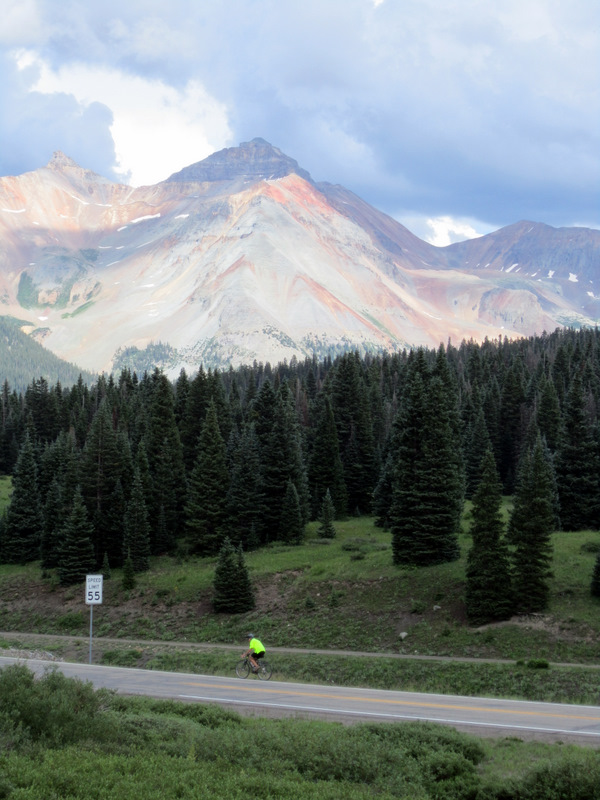
Today begins Week 5 of this bicycle tour. I rode from Caineville to Hanksville and since it was relatively flat, it was a fast ride. The terrain changed again as we left the Capitol Reef boundaries.

We were disappointed that Hanksville had no Subway where we could have lunch.  There are Subways everywhere, and we've grown used to finding them in the most unlikely places. 
Poor Dick, his ride started on SR95 heading south into a fierce headwind and it was HOT!
I made short leaps with the car, so he could easily refill his water bottles. 


Looking at the Lake Powell from the Hite Overlook.  There a white strip on the other side of the river which turned out to be the very big boat launch ramp.  Our campground would be left of there.  At this moment, I'm not very impressed with what our map called Hite Resort and Marina.
Looking the other direction, on the left is the Dirty Devil River, in the center the Colorado River, both entering Lake Powell.  This is some very brown water.

It was a very hot day, no shade anywhere, no showers, the bathroom a half mile from camp.  Dick decided to cool off in the lake, but I couldn't quite do it myself.
Have YOU ever bathed at a fish cleaning station?  I can now check that one off my bucket list. 
Our camp at sunset:

I've put Hite Recreation Area on my list of LEAST desirable campgrounds.  The ground was so hot when we went to bed that staying in the center of one's Thermarest was essential; it provided the only cooling unsulation.

Miles = 1011

Thursday, July 21, 2011

To Capitol Reef National Park & Fruita Historic District

There goes a nice person early in the morning. Dick climbed the first steep hill for me and then I got to take over.
The view of Escalante-Grand Staircase from Homestead Lookout:
It wasn't all downhill for me, there were a few short steep sections.  I think I stopped at every possible turnout and took a picture, only a few made it to this post.
Almost to Torrey, where we met for lunch, where Dick discovered my front brake had been dragging. 
Dick's turn again to ride while I drove into Capitol Reef National Park.

We camped at the Fruita Historical District, in particular in the Mulford Orchard where the apricots were ripe for the picking.  You are allowed to consume as many as you like for free.  Fruita is a former Mormon 200-acre agricultural settlement that was active from 1895-1947.  No more than 8-10 families lived here at any one time. 
Dick named this his favorite campground so far.
If you want to take some with you, it's $1/pound or $18/bushel (that 55-60 pounds).  A scale is provided along with plastic bags and
ladders and gathering poles/scoops (for us shorter people).
After dinner, the deer were not shy about coming close to munch on grass
or to snuggle down and relax.

Miles = 947